Back in the early ’90s, when I was too young to venture out on my own, my sister, who is six years older than me, befriended some kids in Bedford. These kids were into skateboarding and riding freestyle BMX bikes. Of course, I thought this was incredibly cool, and I loved hearing stories about where they would go hang out. One place in particular—the Berm.
At that time, I didn’t know what a berm was and probably never even heard the word before, but it sounded edgy and dangerous—all things that were cool to a 10-year-old boy. Simply knowing about the Berm was cool enough, but that paled in comparison to finding it myself a few years later.
The Berm traveled by word of mouth. Maybe a kid at school had an older brother who would try to give directions, or you’d hear rumors about the location and try to find it on your own. I had a few failed attempts myself, but the challenge made it more mysterious and the lore grew.
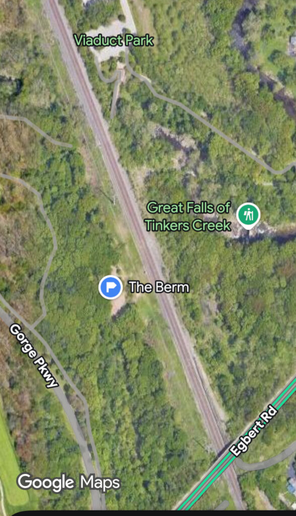
The first time I was there, I went with a friend whose older sister had been there before. We walked to the end of Willis Street, before the turn down Taylor Road, now known as Viaduct Park. Long before the Metroparks’ investment, the old bridge that once carried the C&P railroad cars into and through Bedford was seemingly in disrepair. The whole area was overgrown; only one little dirt path led through the growth and onto the bridge. There was no fence along the deadly edge of the viaduct, and there were full-grown trees burgeoning among the holes in its top deck. There was a fence that you had to squeeze through or climb over that led from the bridge to where the railroad tracks are now located. A short walk south, and the Berm was on the west bank of the tracks, a bit before Egbert Road.
How the Berm started is a bit uncertain to me. Everyone I seem to ask tells me to ask somebody else. But the general consensus is that it started sometime in the mid-to-late ’80s, which is funny because, as kids, we just assumed it had always been there.
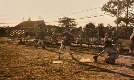
For a few of those seemingly endless summers of our early teens, we would stop at Vlasak’s Food City, or Big & Little Store, buy a gallon of iced tea, and ride our bikes at the Berm, daring ourselves to new heights: Who could survive jumping their bike the highest or farthest from the handmade dirt ramps and other natural features of the strange landscape.
As we got older, we stopped hanging out at the Berm, mainly because we were drawn to a new form of four-wheel transportation. Questionable characters started hanging out there, too, and it lost that innocent luster of simple fun.
Thirty-some years later, I walked back to the Berm and stood at the unimpressive site. I felt melancholic that the tradition and rite of passage that it had encompassed was lost on younger generations of kids.
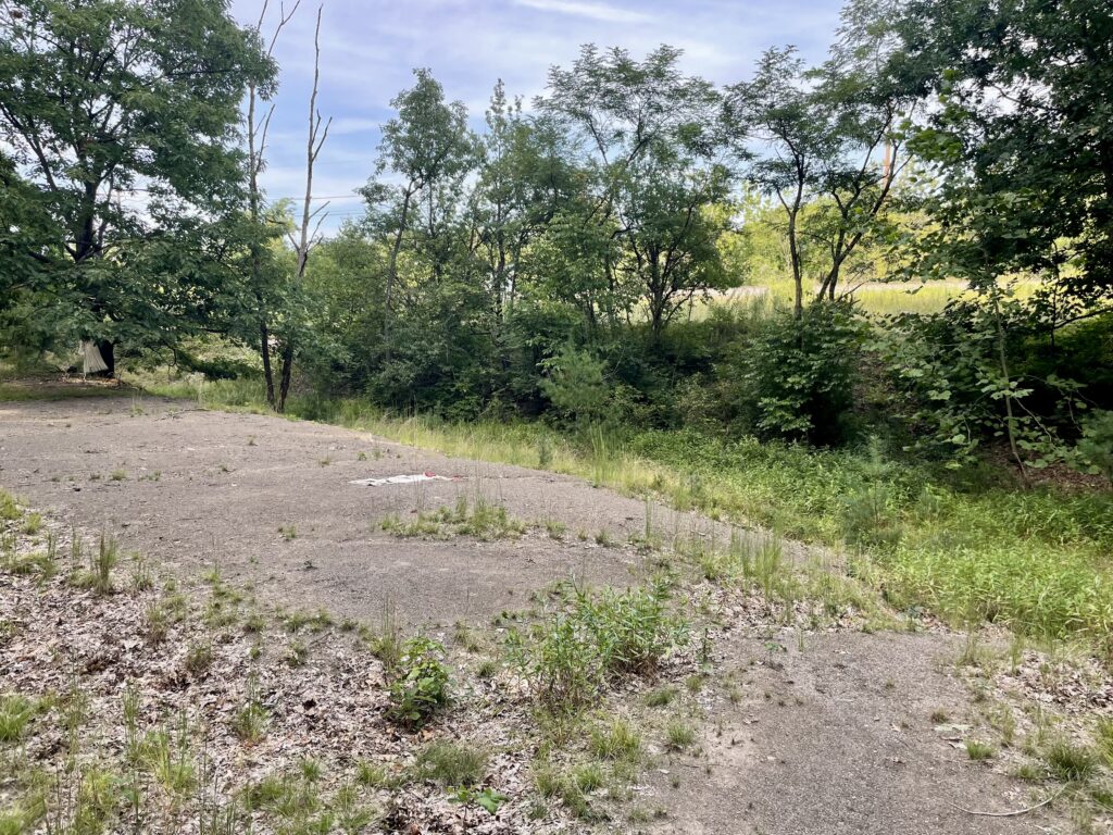
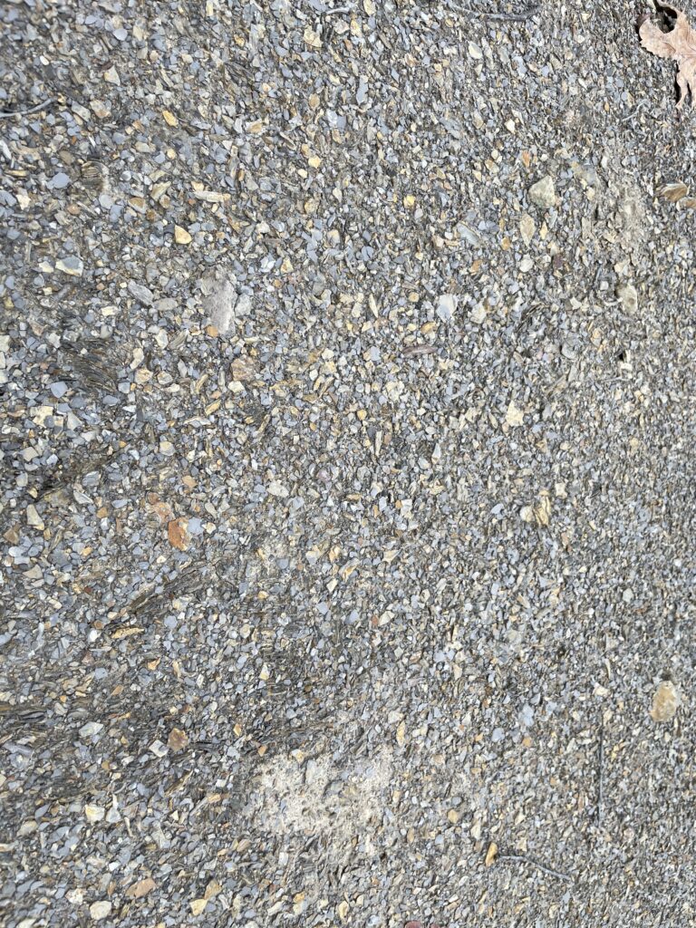
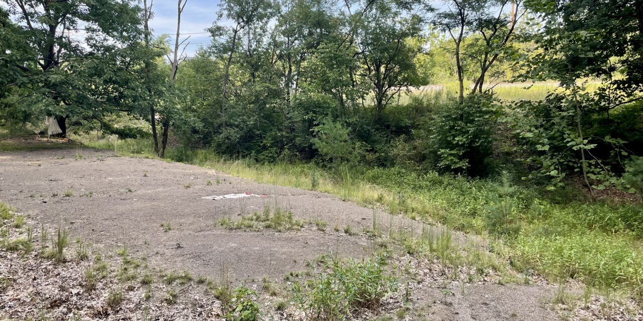
Now, it lay vacant, the ground an inconspicuous, slag-like material where only a couple of weeds and scraggly trees grow. The earth void of tire-tread marks in the mud, and the ramps were washed unrecognizable under decades of rain. For a moment, I stood there in silence, with faint echoes of the past flashing in my mind, searching the area for any trace of our inhabitation but coming up short.
Bonus Material
In Dick Squire’s 1994 book, Bedford Village Views, in the Tinker Creek section, there is a postscript from 1983 called “The Borrow Pit.” It’s a short story about local legend and old-timer Charlie Vincent taking Mr. Squire on a journey down Willis Street, through the narrow path on the overgrown bridge, and southward the railroad tracks toward Egbert Road. Sound familiar? — my exact route — to an area where the ground is described as “a loose layer of slag ballast,” which is how I would describe the makeup of the ground at the Berm.
This was an excavated area from the late 1800s used to fill in the ravine around the giant tunnel below the viaduct bridge. The only variance is that Dick said the borrow pit was on the west side of the tracks, while the Berm is on the east side. Was it a simple mistake, or is it a different spot altogether?
The dead zone of the Berm is peculiar to me, as it’s shown on aerial maps going back almost 80 years. Why has nothing grown there? A mystery to behold.